On Tuesday we were driven from Tblisi to Akhaltsikhe (translated as New Castle) in western Georgia by Saren, the owner of the hotel where we were to stay. This involved first driving north to Mshketa, then west to Khashuri, before finally heading south-west through the Trialeti Range of the Lesser Caucasus to our destination. The traffic here is nuts, with a good proportion of the travelling time spent just getting out of Tblisi.
Travelling around the country you realise just how much of it is mountains, and the area around Akhaltsikhe, where the Lesser Caucasus merge into the Pontic mountains of Turkey, has a turbulent geological history which matches its more recent political one. Having spent a lot of time close to the border with Russia, we’re now in a very different sort of mountain landscape, only 10 miles as the crow flies from the Turkish border. Akhaltsikhe was the site of a battle between the Russians and Turks in 1828, won by Russia, which led to the Russians advancing into and occupying Turkey, as far as the city of Kars, until the first World War.
On the way here, we asked Saren to stop at Jvari monastery near Mtskheta, above the confluence of the Kura and Aragvi rivers. The 6th century church is a UNESCO World Heritage site, famous for being the spot in Georgia at which, in the early fourth century, King Mirian and St Nino, who is credited with bringing Christianity to Georgia, first erected a wooden cross. I’m afraid we both found it rather underwhelming. By the time we got there, late morning, the place was full of busloads of people with no real interest in the spiritual significance of the place; it felt much more like a tourist destination than any other church or monastery we’ve been in here.
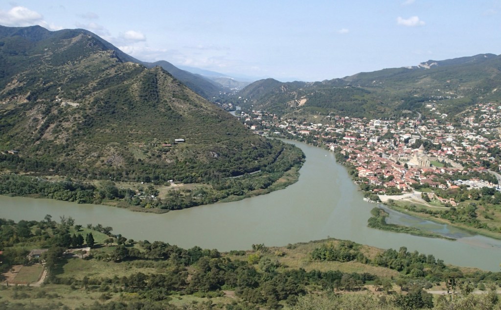
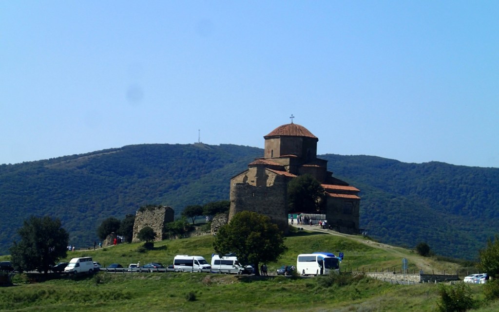
Leaving Jvari behind, we headed west along the motorway towards Khashuri. Between Mtskheta and Gori, the contested region of South Ossetia comes within a kilometre or so of the road, as does the Tserovani refugee camp, built to house between six and nine thousand mostly ethnic Georgians displaced from Ossetia during the 2008 war with Russia. It’s a sobering reminder of how vulnerable Georgia is to its larger neighbour but also something of an example of how decent emergency accommodation can be created for people when there is the political will. Of course, there is always the danger that something intended as temporary becomes permanent and, after nearly 20 years, this is clearly happening in Tserovani.
We arrived in Akhaltsikhe to find Hotel Julia more of a guest house than a hotel, with just three rooms on the upper floor of the house, but all the more charming for it. Saren and his wife Bella are incredibly friendly and welcoming, despite speaking little English, and greeted us with a bottle of their homemade wine on arrival. The location, just beneath the Rabati or fortress, couldn’t be better.
Vardzia, variously described as a cave city or monastery, was the main reason for our visit to this part of Georgia and Saren drove us there on Tuesday. It’s 90 minutes or so from Akhaltsikhe, east and then south, following the river Kura which we last saw in Tbilisi upstream towards its origins in Turkey. We stopped on the way to take in a couple of good views of Khertvisi fortress, at the junction of the Kura and Paravani rivers.
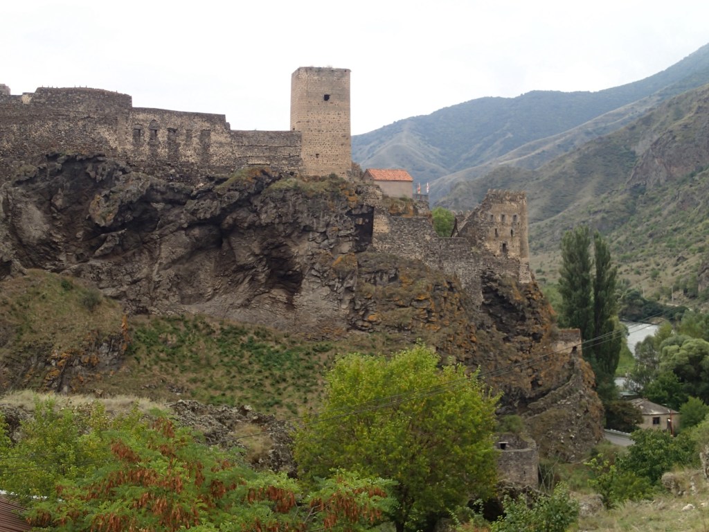
Khertvisi sits on a spectacular volcanic plug, rather like Edinburgh castle, occupying a natural defensive site above important trade routes. There is supposed to have been a lookout post here since the time of Alexander the Great in the 4th century BC; he, along with the Mongols and Ottomans, is alleged to have been responsible for some of the many times the castle was destroyed and rebuilt, with the present walls dating from the 14th Century.
The Trialeti Range mountain range, in which both Khertvisi and Vardzia lie, formed back in the Paleogene period (66-23 MYA) when volcanic activity was rife. But, in the western part of the range, between Borjomi and Vardzia, there were also much younger lava flows, eight to ten million years ago. These created sedimentary rocks of volcanic origin; pyroclastic volcanic material (fragments of rock, ash and dust) erupting from under-water volcanoes and carried along in rapidly-moving currents of hot gas, alternating with layers of lake sediments. Presumably for defensive reasons, in the 12th century people decided to carve a city into the cliff made of these rocks above the river Kura at Vardzia, instead of building more conventionally. Much further downstream on the Kura, near Gori, the rock-hewn town of Uplistsikhe dates back to the fifth century BC, so it’s not without precedent.
Looking at the site from a distance, Vardzia’s caves are all clearly cut into one particular layer of rock, pale in colour, and up to 80 m deep. This is part of the Goderzi suite of rocks, called the Vardzia horizon, unsurprisingly ( Okrostsvaridze et al. 2016). The rock is made of cemented volcanic ash, of fine to medium-grain size. It’s fairly soft, so must have been relatively easy for the 12th century city founders to excavate.
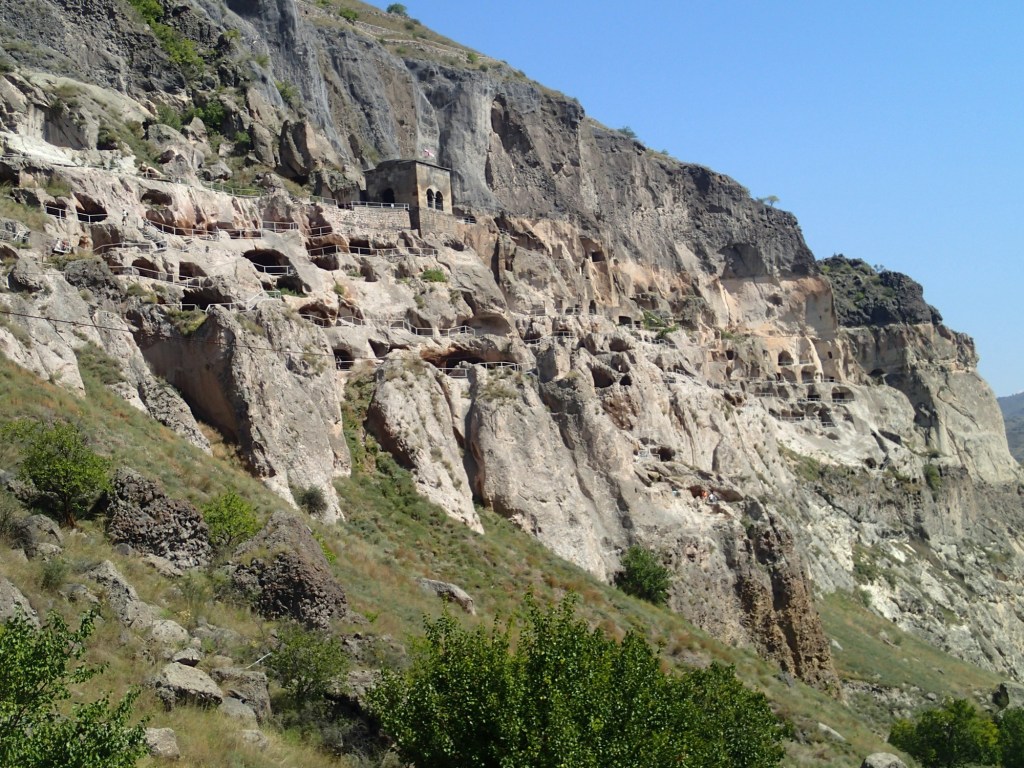
A darker layer of rock sits above the city; and a slightly harder layer of andesitic rocks beneath it, though this is largely hidden by deluvial deposits – loose accumulations of sand, silt and clay washed down from higher up the cliff face. Both, I guess, give it some level of protection from erosion, but an active, deep fault runs along the Kura gorge here, not helping stability of the site. It remains at risk of earthquakes, like the one in 1283 which caused much damage.
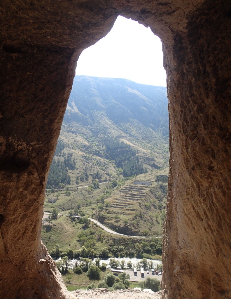
It’s quite a hike up to and around the city from the car park by the river – Martyn’s phone reckoned we’d climbed the equivalent of 51 flights of stairs by lunchtime! Health and safety is rather less stringent here than at home and in places it’s difficult to negotiate the tunnels and eroded stairs linking the 600 or so rooms of the complex. There is reasonably clear signage to take you to the 16 points of interest on the audio trail but you then have to reverse the process to get off the site, as many of the downwards flights of stairs just end abruptly, with a fence if you’re lucky. It took us longer than it should have to work this out!
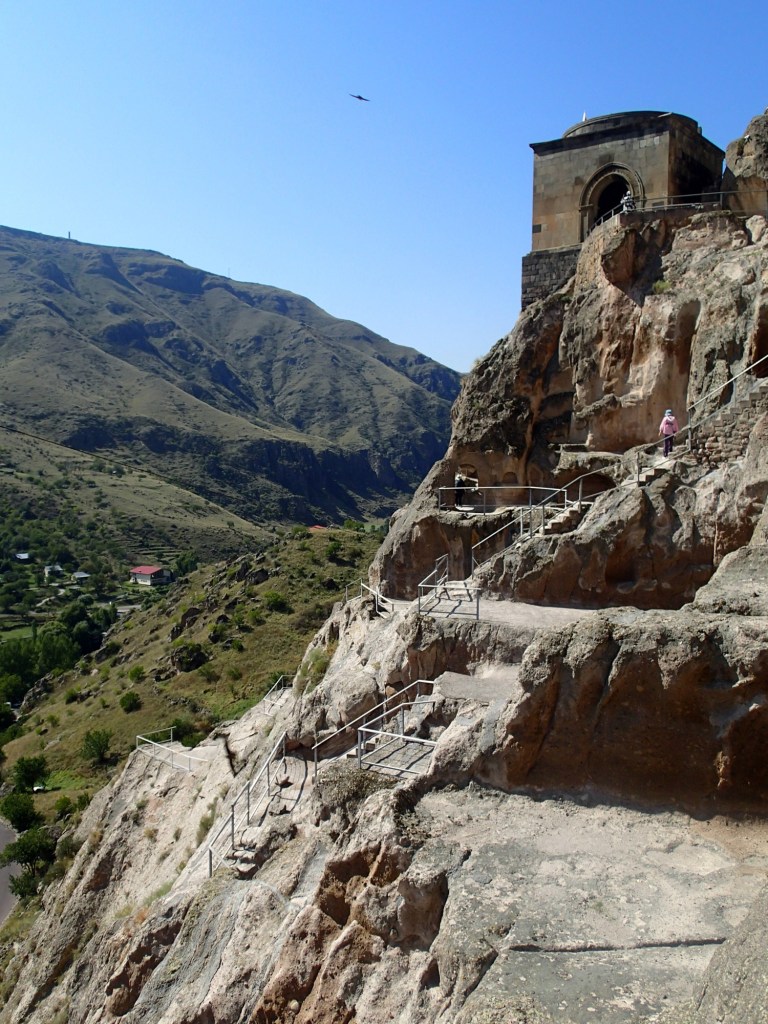
Many of the rooms look very similar to the uninitiated, so you have to use your imagination to work out how the caves would have been furnished and used. Some have deep basins in the floors and niches carved in the walls but little else to go on. My favourite was the tiny ‘prayer room with a cross’ near the bottom of the site, which felt like a lovely haven in which to sit quietly out of the heat of the sun.
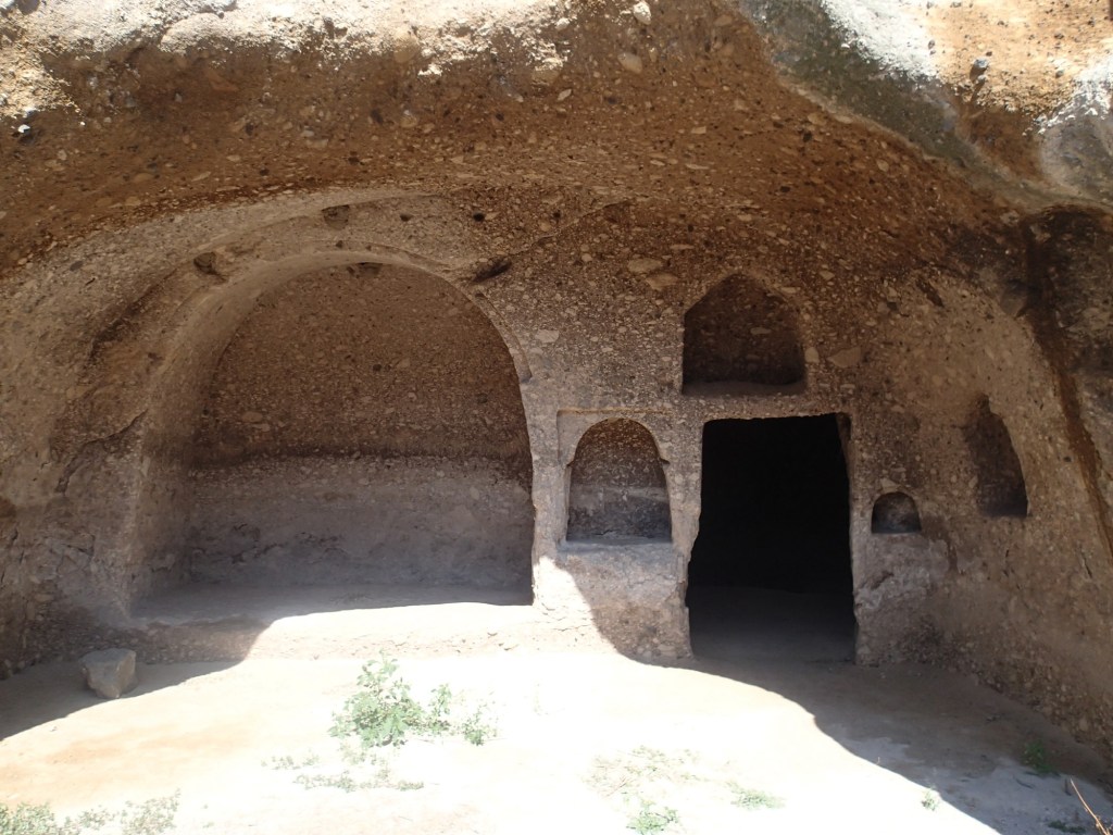
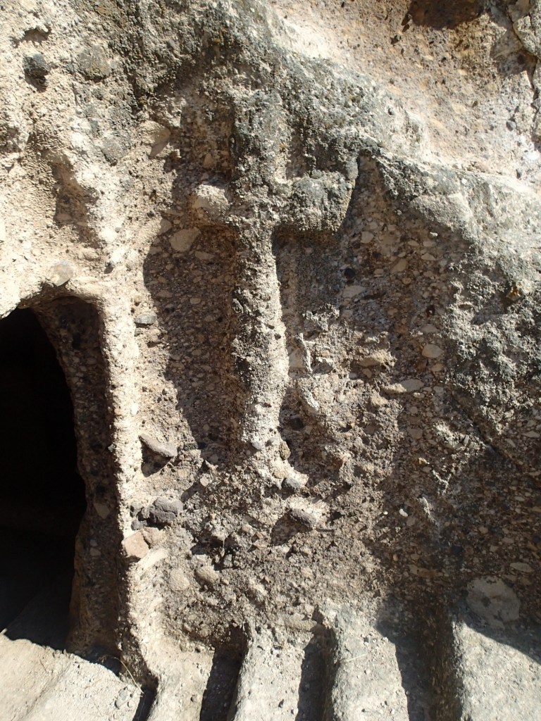
Queen Tamar is supposed to have visited Vardzia in its glory days in the early 13th century, using it as a base from which defeat the Turks, but the site was largely abandoned after the Ottomans invaded in 1578. The Church of the Dormition though, built when the monastery was at it’s most important, remains the spiritual heart of a small monastery which operates at Vardzia today. Some of the frescoes here were, apparently, restored with the help of experts from London’s Courtauld Institute.
A group of five or six monks live, pray and work in a restricted part of the site, still getting their water from the spring deep in the rocks behind the church, which must have been so important in more turbulent times. The caves also still provide a summer home and nesting site for hundreds of House Martins, who build their mud nests in the corners of the ceilings. When we visited they were gathering on nearby telegraph wires in readiness for migration to Africa for the winter.
In an interesting link to our time in Kakheti, many of the hillsides in this part of Georgia are covered in carefully constructed stone terraces, often abandoned but occasionally planted with grapevines. It seems that during the years of Ottoman occupation, vines would have been scrubbed up and, during later Soviet occupation, the focus was on large scale production, which would never have been possible on these slopes. It’s good to see some vines being grown here again.
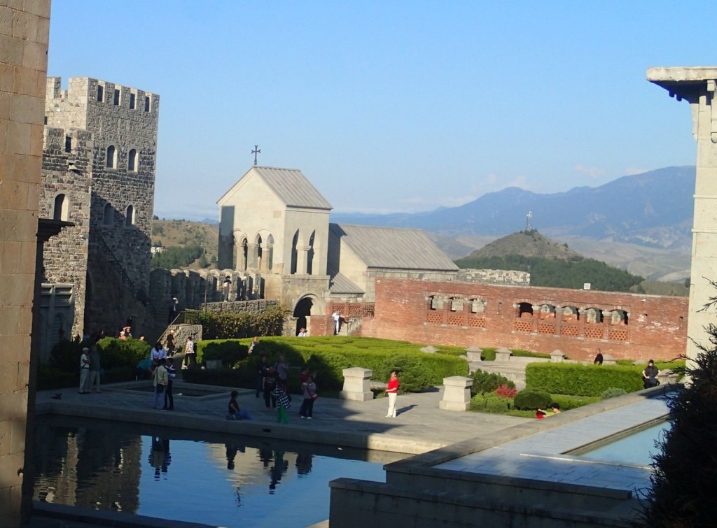
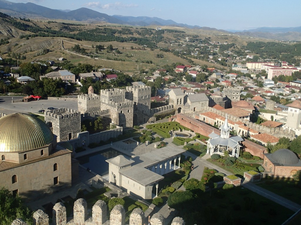
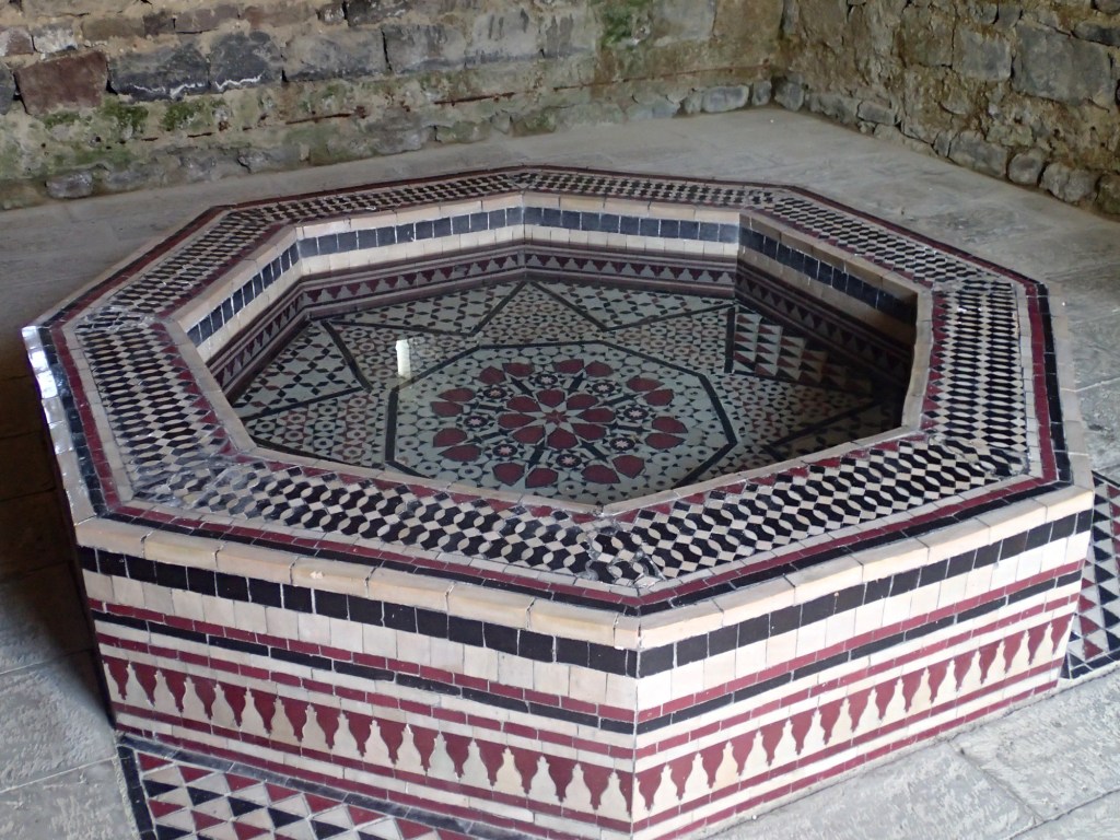
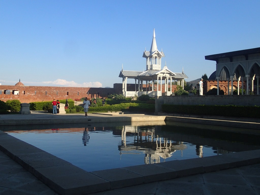
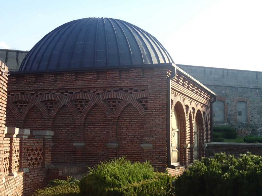
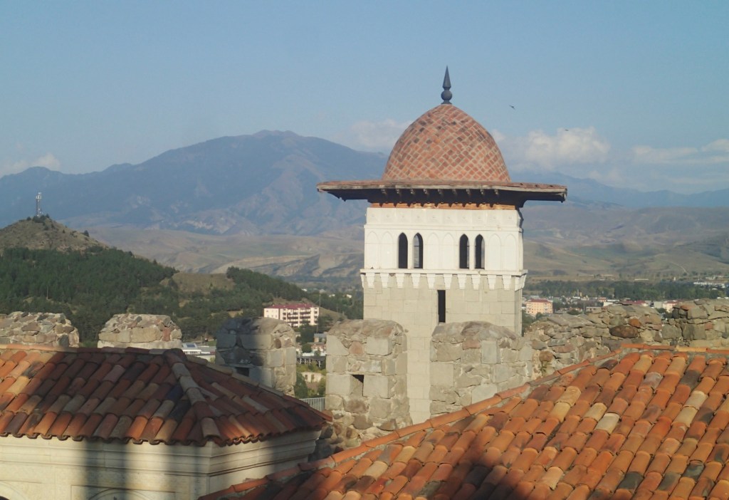
We were back in Akhaltsikhe in time for a rest then ventured out to explore the castle late afternoon. The oldest parts of the fortress date back to the 9th century but by the 13th century it had expanded into a city and administrative centre for the region. Many of the present buildings are 18th century or later and all were heavily restored in 2011-12, with Bzyantine, Islamic, medieval and Italian Renaissance styles vying for attention. A mosque, madrassa, Georgian Orthodox Church, Catholic monastery, Armenian church and a synagogue all sit within the walls. We were too late for the museum but enjoyed wandering the formal gardens in the late afternoon sun and the views from the high tower at the back of the site, even if our legs could have done without the extra ten or so floors of climbing!
We had dinner at the Gamarjoba restaurant right next door to Hotel Julia, as recommended by Bella, though I had very little to eat as I’m still struggling with a stomach bug. Martyn had to take one for the team on my behalf, downing a digestive chacha in one, with our friendly host.
Okrostsvaridze, A. et al. (2016). New data on the Geological Structure of the Vardzia Cave City, Georgia. BULLETIN OF THE GEORGIAN NATIONAL ACADEMY OF SCIENCES, vol. 10, no. 3.
science.org.ge/newsite/bnas/t10-n3/Okrostsvaridze-10-3.pdf


[…] Mtskheta. The cathedral sits on the other side of the confluence of the Kura and Aragvi rivers from Jvari Monastery. Mtskheta is only 25 km from Tblisi but, with the traffic, that doesn’t mean it’s a short […]